#633, Goldsmith Gulch @ Temple Pond (PS)
Installation date: 1987-MAY-29
Coordinates: 39:37:55 N 104:53:28 W
Elevation: 5553'
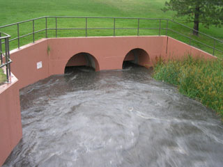
Record high water: 67' (14' deep, 760 cfs), 2001-JUL-08,
65' (12' deep, 1,250 cfs), 1988-AUG-17*
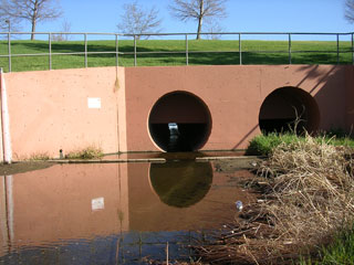
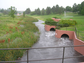
*Twin 84" RCP w/42" orifice plates installed June 1994 (see photos)
Goldsmith Gulch Flood Warning Plan, HFP Temple
SITE OVERVIEW:
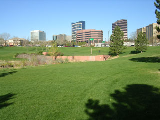
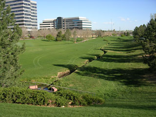
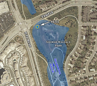
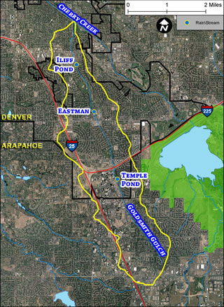
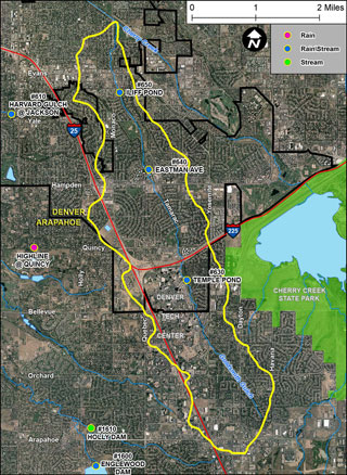
633 is located along the left bank of Goldsmith Gulch, just upstream of Temple Ave. George Wallace Park, immediately upstream of the gage, serves as a detention pond for high flows. Scroll down to see site photos, flooding photos and GIS maps.

